Laser Technology Inc is having a webinar May 22nd 2018 at 9 AM Central time:
“How to Combat Costly and Tedious Data Collection Workflows with #LaserGIS®”
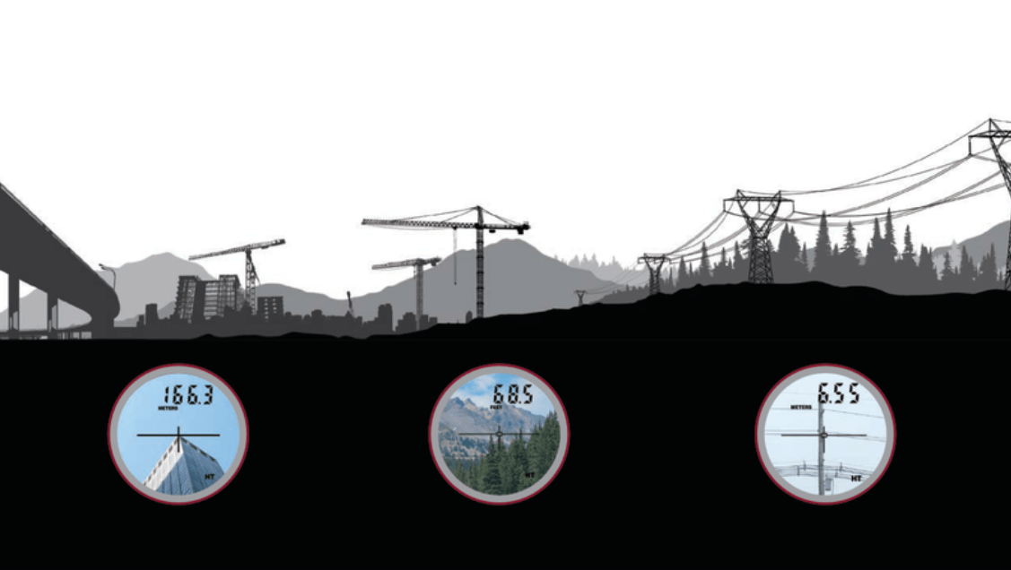
Click Here or on the photo above to register for the webinar.
In this webinar, you will learn:
- How you can leverage affordable available technology to increase GIS productivity
- What apps and 3rd party devices laser rangefinders can integrate with
- Workflows that makes field data collection simpler and safer
- Proper & accurate field measurement techniques that can eliminate data collection errors
Who should attend?
- GIS: managers, coordinators, specialist, field technicians
- Utilities: field crews, joint pole use, lineman
- Markets: GIS, Forestry, Natural Resources, Utilities, Public Works
For more information about Laser Technology Inc please visit their website.

