author avatar
Joe Madej, GISP Mapping & GIS Sales

Over twelve years of experience in the industry working with Geographic Information Systems I have learned the key skills and abilities to provide superior quality mapping with no supervision. Working in the field has taught impressive time management skills that allow work to continually be delivered on time and in an accurate manner. Have worked with a plethora of GIS systems and applications that have imbedded a high level of computer proficiency. Have demonstrated exceptional leadership skills to contribute to a vast team of persons working towards a common goal. Ability to use resources and gather information is unsurpassed at each company previously worked for; accurate and relevant information that helped to create a specific customer inquiry.
Survey123 for ArcGIS: Quick Tip

Survey123 for ArcGIS: Quick Tip

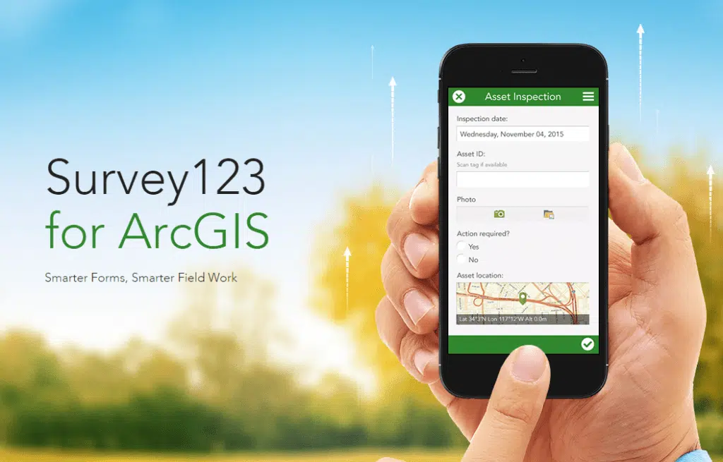
Did you know that you can automate Survey123 to send an email notification when a survey has been submitted? Utilizing webhooks and Microsoft flow you can allow multiple applications to interact with each other. Check out this document from ESRI on how to accomplish...

read more
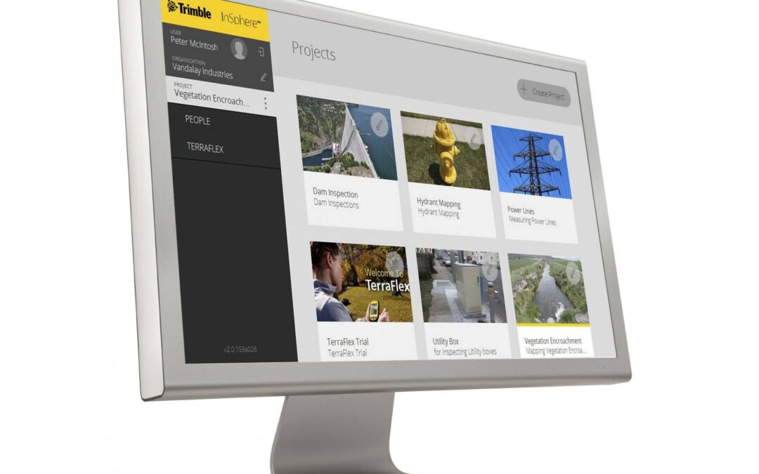
Terraflex/Insphere Quick Tip for Data Issues

Terraflex/Insphere Quick Tip for Data Issues

Recently Terraflex/Insphere were reporting issues with overabundance of requests to the servers, this was causing the website not to load and data not to be synced across. Trimble has made server improvements to the issues being reported. One issue that is still...

read more
Mapping and GIS – GPS Rollover Week

Mapping and GIS – GPS Rollover Week

Trimble Mapping & GIS Handhelds and Receivers A GPS week rollover will occur at the end of the GPS day on April 6, 2019. Because the GPS message structure broadcasted by the satellites defines the week as at a 10-bit value, the GPS messages will indicate that the...

read more
Quick tip for ESRI Collector for iOS

Quick tip for ESRI Collector for iOS

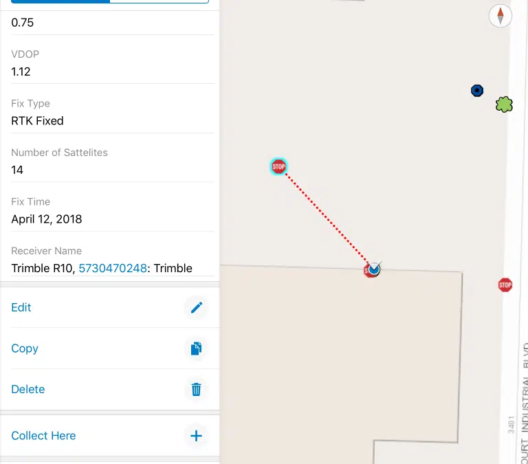
Have you ever wanted to make it easier for you or your field crews to locate assets that you have already collected in the field? With the latest release of ESRI Collector v18.1.0 for iOS, ESRI has now added the functionality to use straight-line navigation back to...

read more

ESRI Mobile App Comparison

Cloud based applications are now taking a front row seat in field data collection and asset management. The majority of users have smart phones in their pockets and can use these to collect data in the field. As data collectors you have choices from ESRI on how to...

read more

Coordinate Systems in Terrasync

Coordinate Systems in Terrasync: How and why to use them In this short Tech Tip video we will be discussing coordinate systems in Terrasync. How to navigate to where the coordinate system is located and why we would change the coordinate system within the software....

read more

How to Install GPS Pathfinder Office

How to Install GPS Pathfinder Office Below is a video created by the Seiler tech support staff on how to download and install GPS Pathfinder Office. https://www.youtube.com/watch?v=HGgYqMsMgMQ   If the video does not play please see our Seiler Solutions YouTube...

read more