
Trimble
Field-to-finish survey CAD Software.
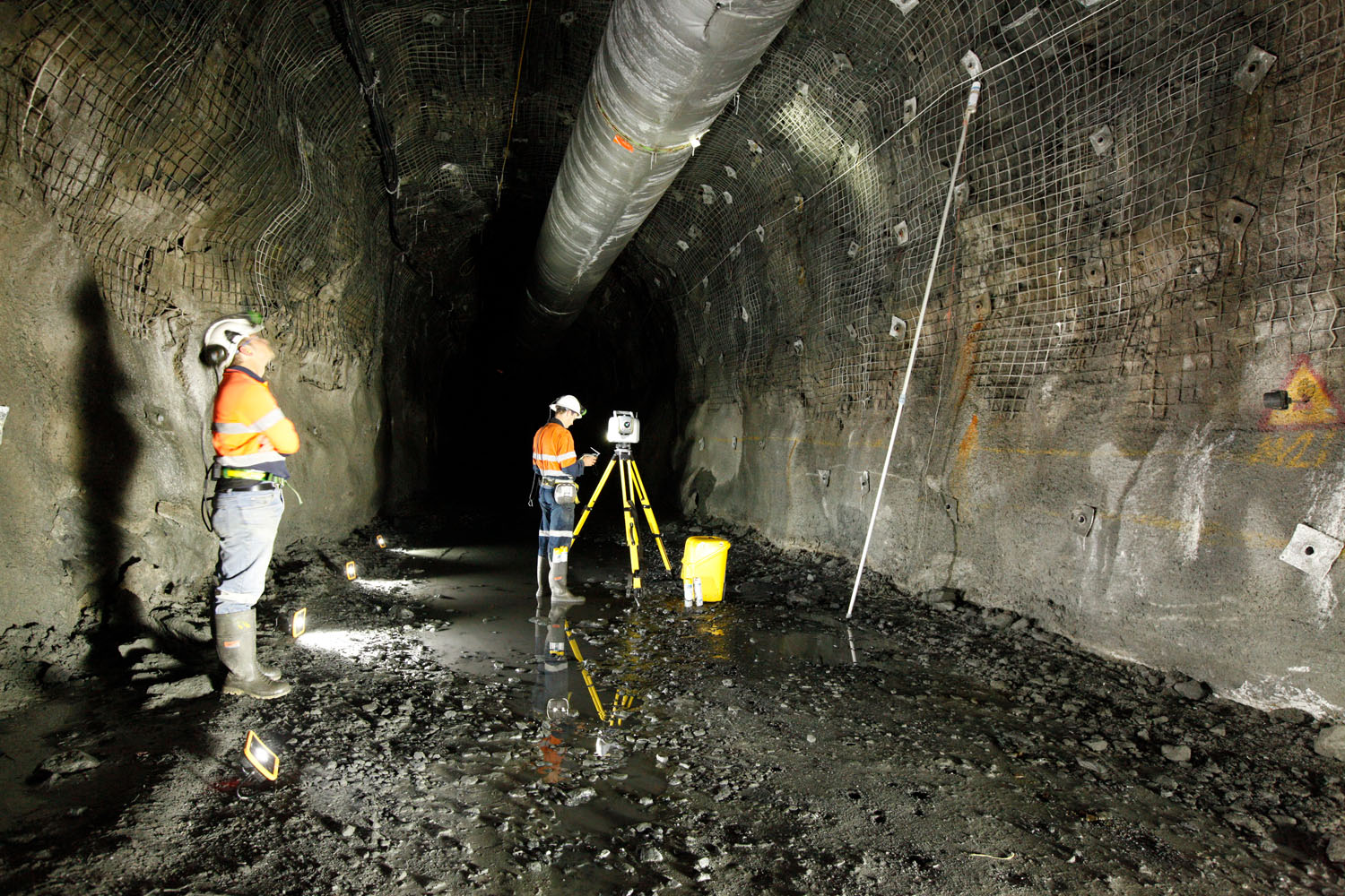
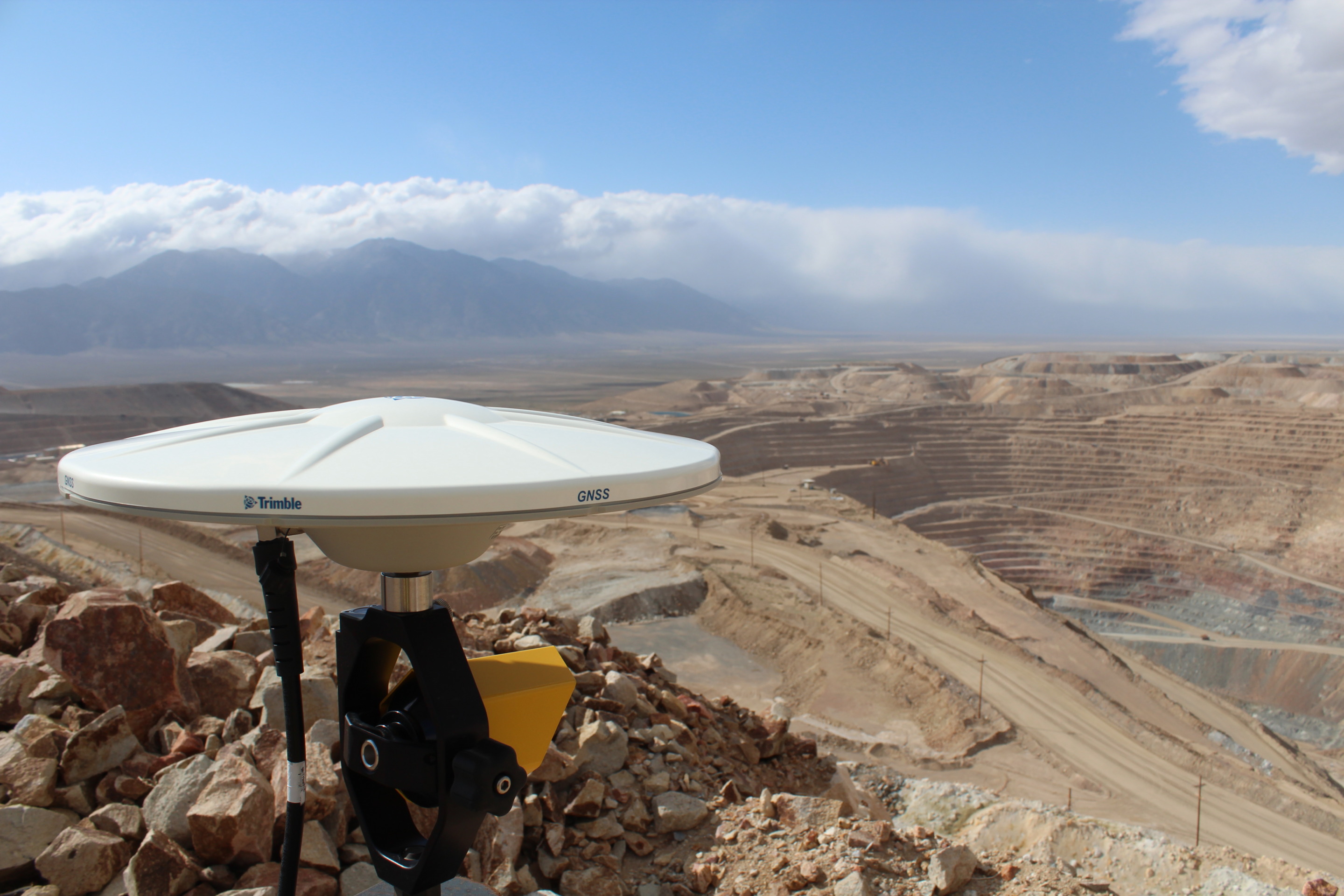
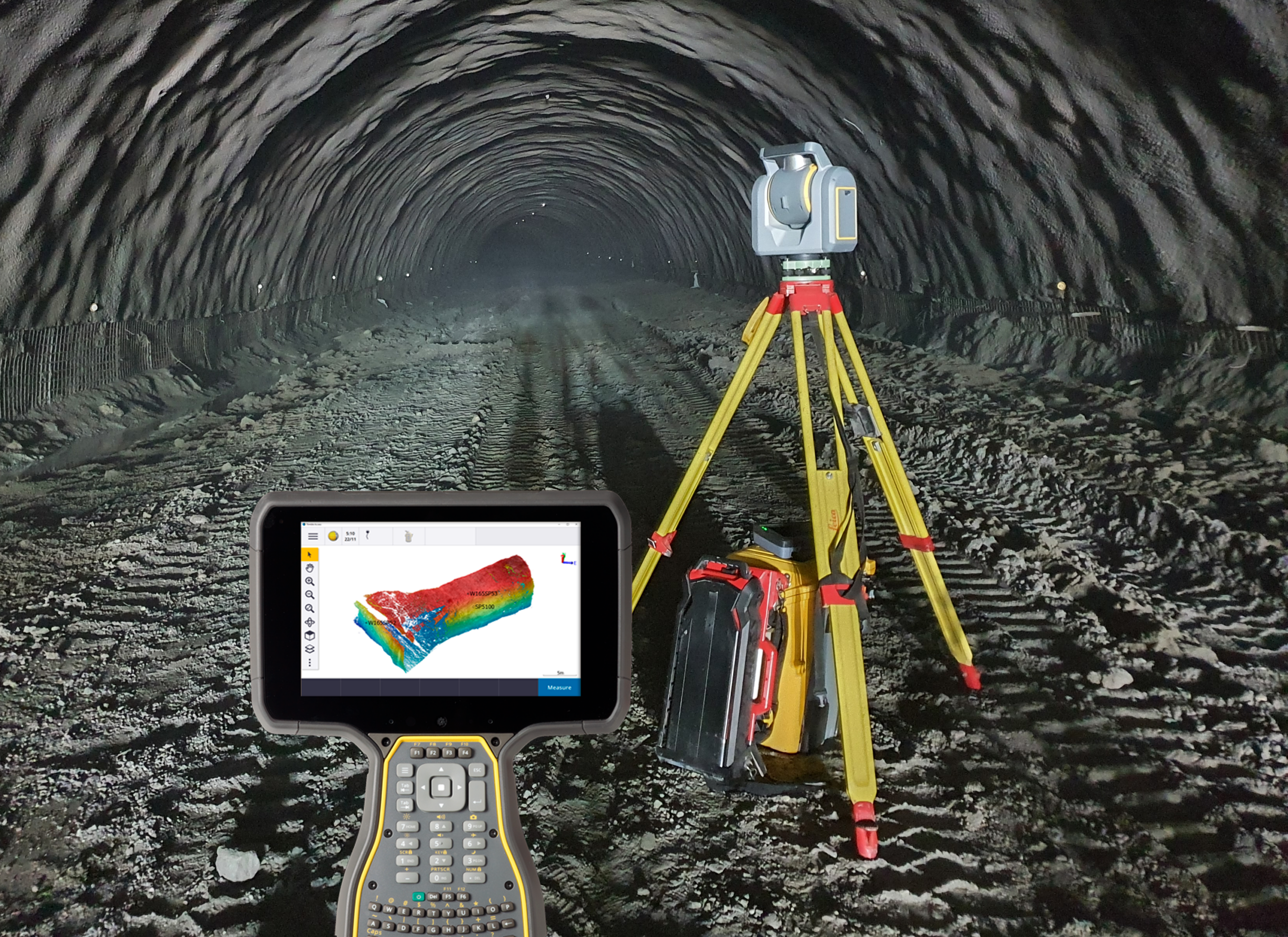
Seiler Geospatial provides advanced monitoring solutions for dams and mining operations, ensuring safety and stability in these critical environments. Our high-precision GNSS, 3D laser scanning, and geotechnical sensors enable real-time data collection to track movements, stress points, and potential failure zones. Whether monitoring dam structures for structural integrity or assessing mining sites for ground stability, Seiler Geospatial’s tools help detect risks early, facilitating proactive interventions to prevent disasters and optimize operations. Our solutions support informed decision-making, enhancing both safety and efficiency in dam and mining management.

Trimble
Field-to-finish survey CAD Software.
Trimble
Built for specialized applications that require speed, accuracy and reliability.
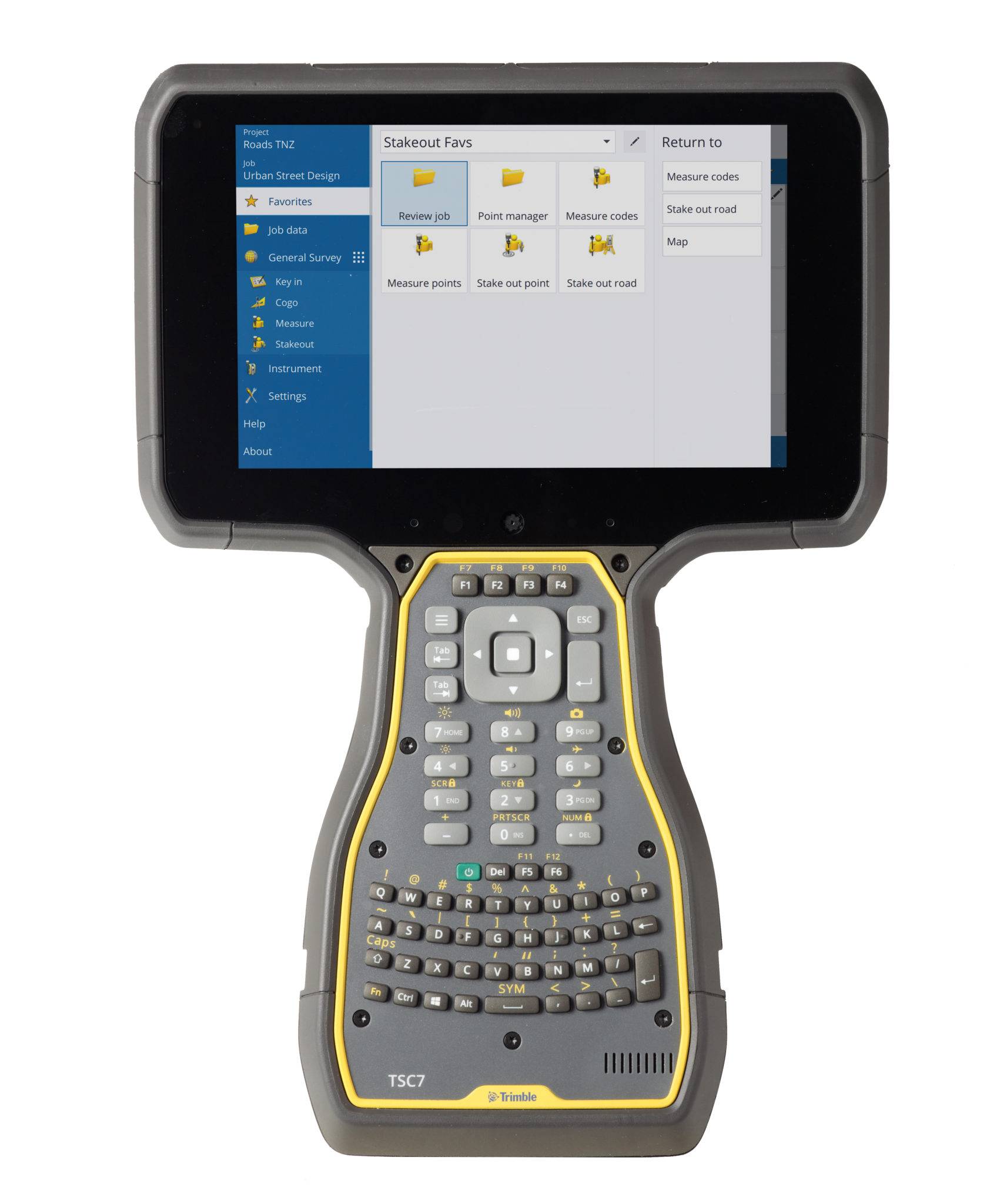
Trimble
The world leading field software for professional surveyors.
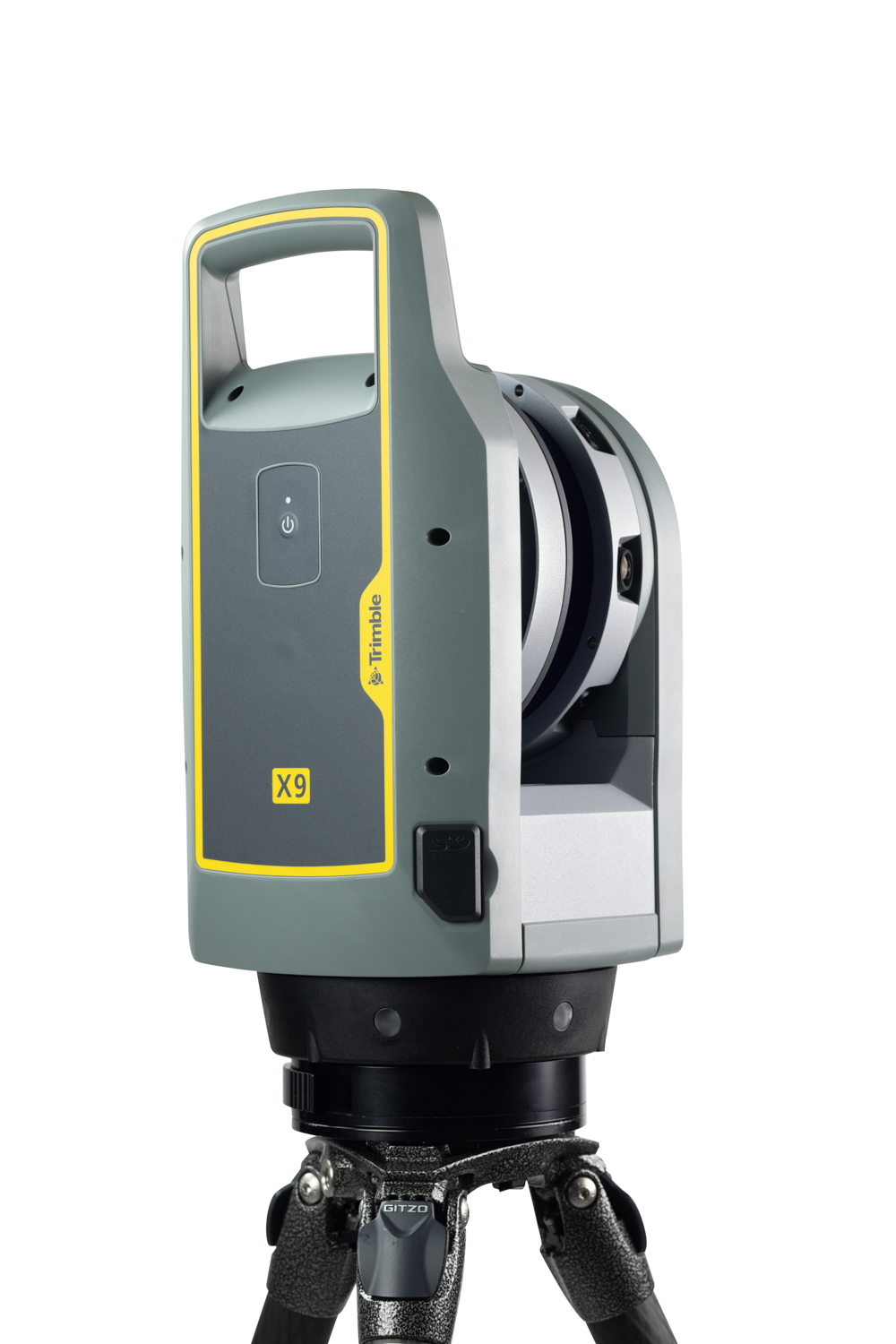
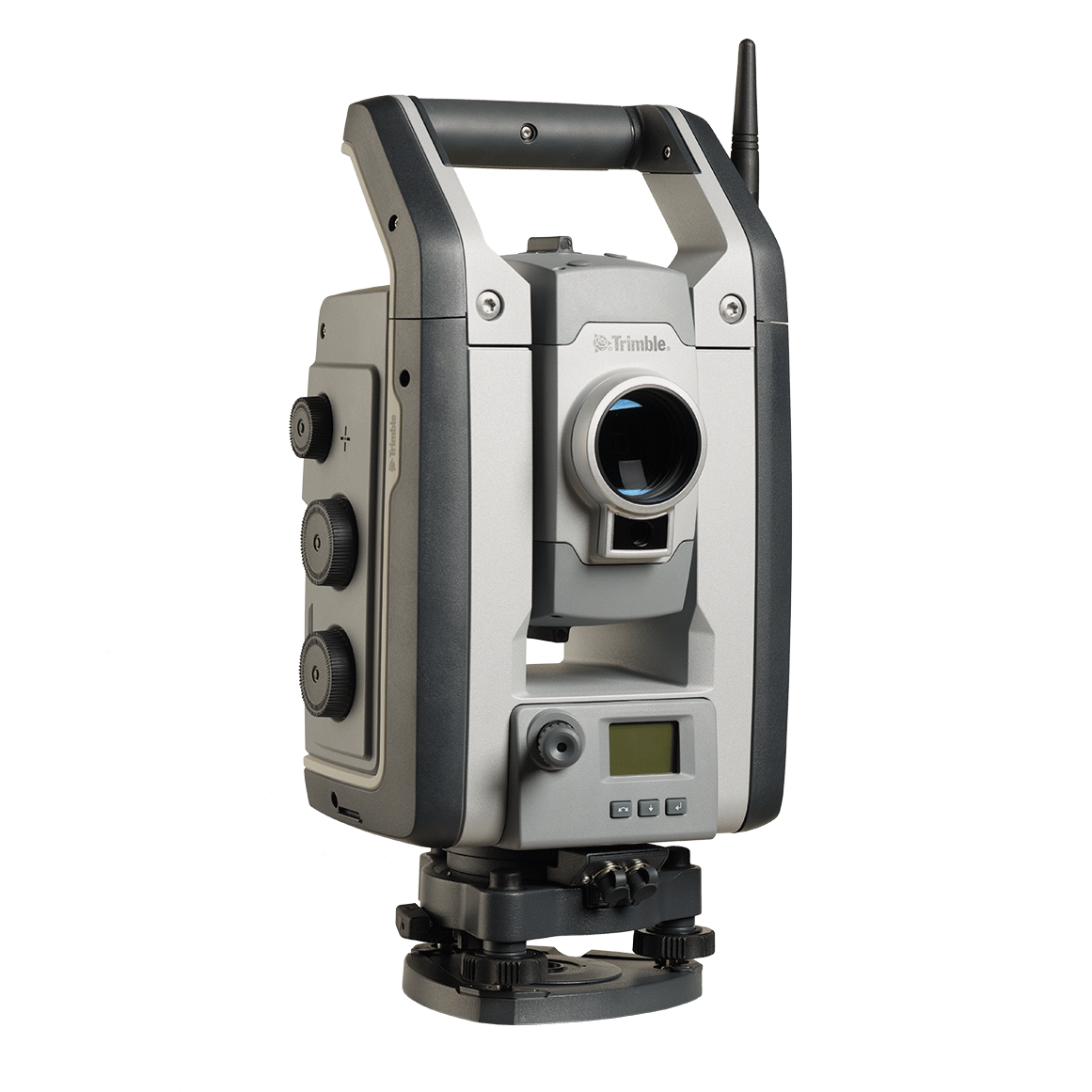
Trimble
Offering the range, accuracy, scan times and sensitivity you need to do more, better, and faster.
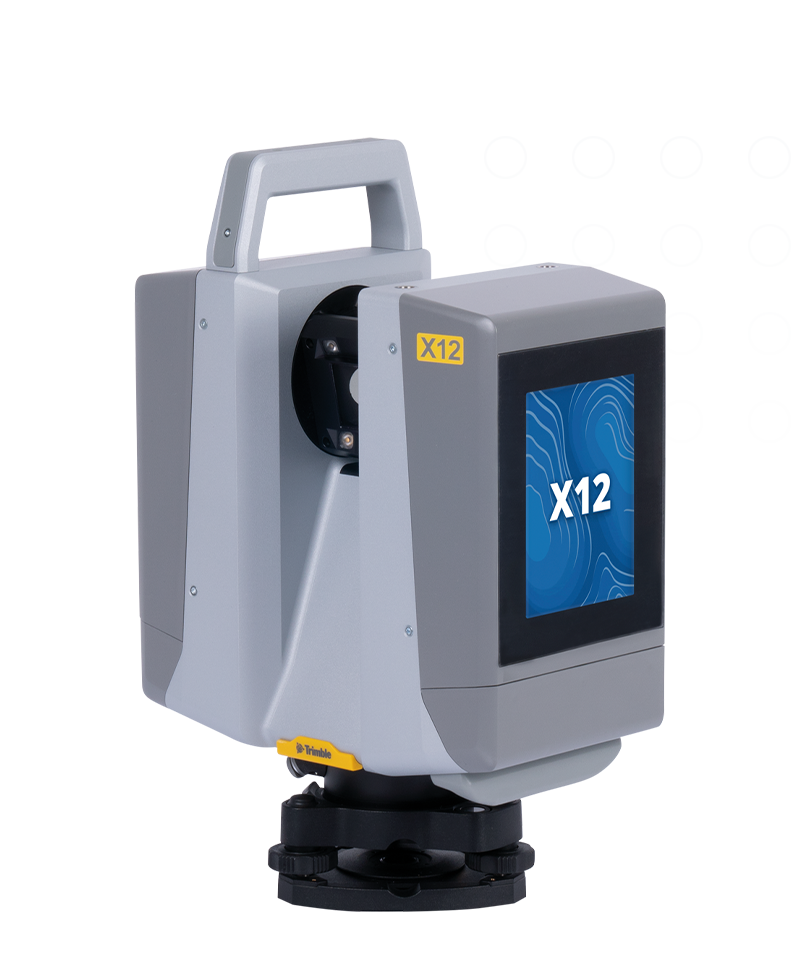
Trimble
High-end laser scanning with exceptional speed and range combined with laser-focused accuracy and imagery.
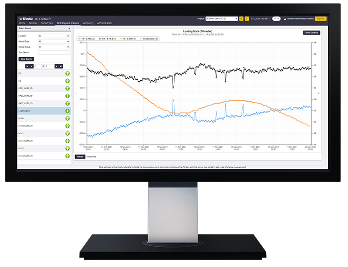
Trimble
Unlock the full potential of your geospatial monitoring data.
Discover how Seiler can help optimize your project. Contact us to learn more or request a demo.