
Trimble
Field-to-finish survey CAD Software.
Seiler Geospatial provides advanced monitoring solutions for infrastructure within the monitoring industry. Our high-precision tools, including GNSS systems, 3D laser scanning, and geotechnical sensors, enable the continuous tracking of infrastructure health and performance. Whether monitoring bridges, dams, roads, or buildings, our solutions deliver real-time data that helps detect movement, stress, and potential failure points. With Seiler Geospatial’s technology, infrastructure managers can make informed decisions, proactively address issues, and ensure the safety and longevity of critical assets.

Trimble
Field-to-finish survey CAD Software.

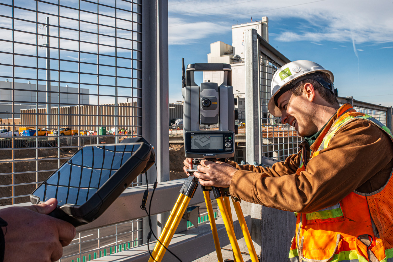
Trimble
Built for specialized applications that require speed, accuracy and reliability.

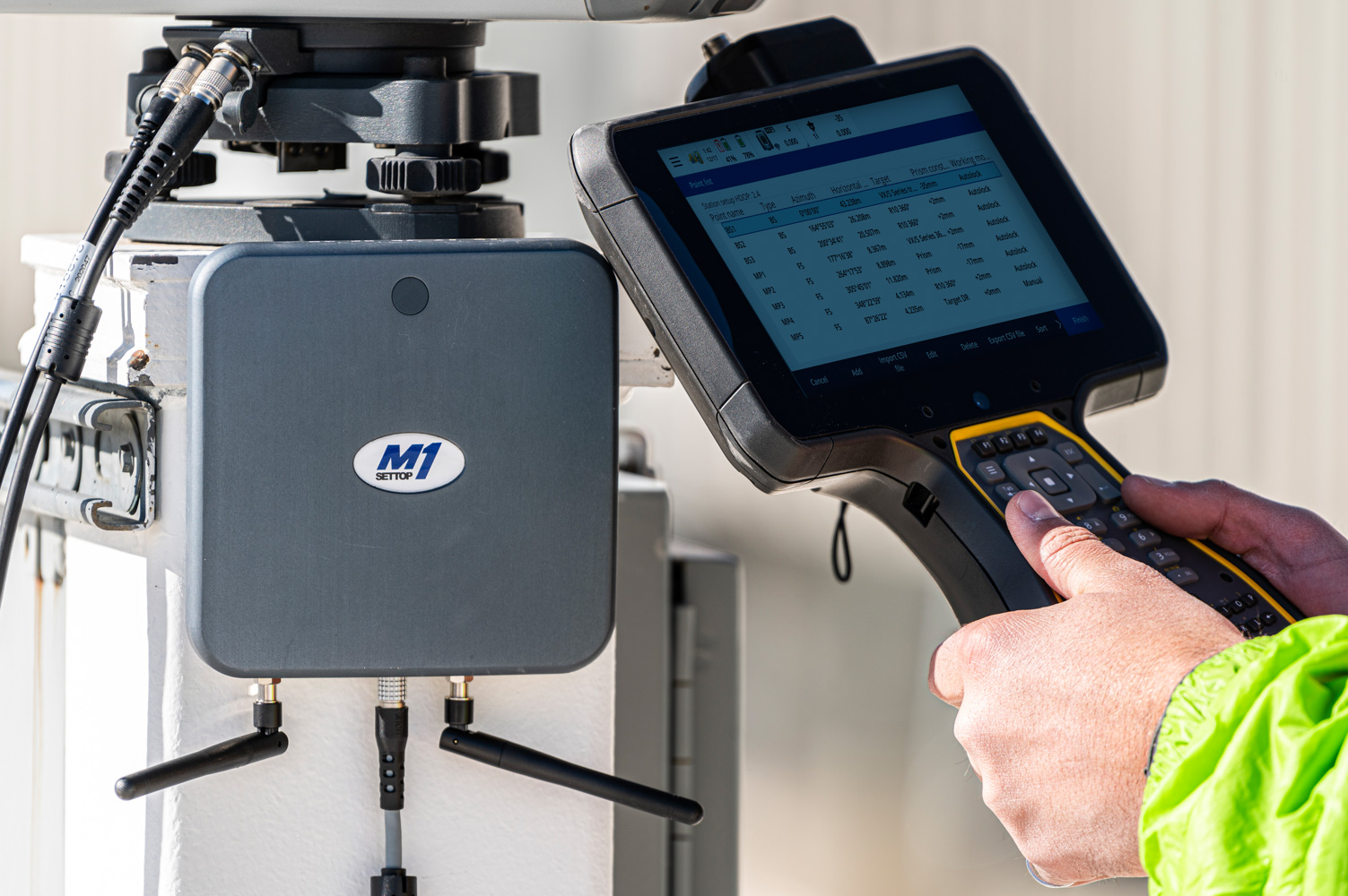
Trimble
The world leading field software for professional surveyors.
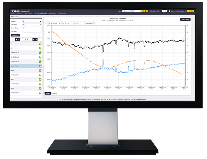
Trimble
Unlock the full potential of your geospatial monitoring data.
Discover how Seiler can help optimize your project. Contact us to learn more or request a demo.