Recently I have found 2 resources for finding “NGS Control Points” to use to check your GPS devices against. Use these NGS Control points while using a Real-Time Correction source or after Differential Correction “Post Processing” back in the office.
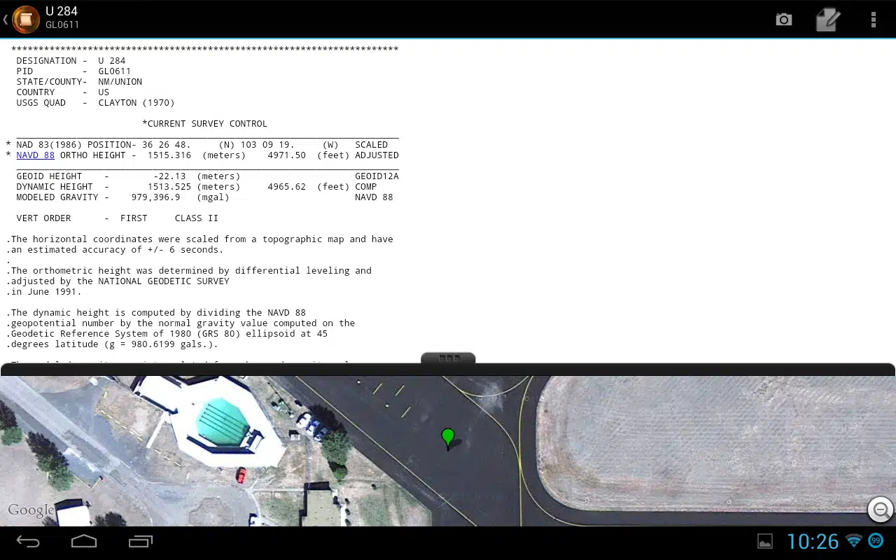
1. BenchMap (Android Only)
I am still looking for a good iOS counterpart since the “Findacontrol” app is no longer 100% supported for Android or iOS new downloads. If you find a reliable iOS control point app, please let me know and I will add it to this blog.
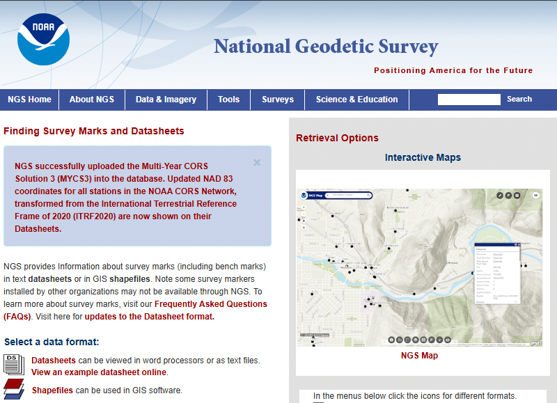
2. NGS Survey Marks and Data Sheets
On the NGS website there are several options, but the more familiar one is the NGS Survey Map. It uses an ArcGIS Online Web Map Application.
Both of the above resources provide you a pdf “Data Sheet” that describes the control points location, quality and history. For example, here is the Datasheet for the MADISON WIS ST CAPITOL DOME control point.
***Some control points may have overgrowth within the road right of way. Wear proper clothing, boots and pack some bug spray. Be prepared to walk through weeds, muddy ditches to get to them. You might have to clear weeds and or dirt away in order to find the control point plate or pin. Happy Control Point hunting.

