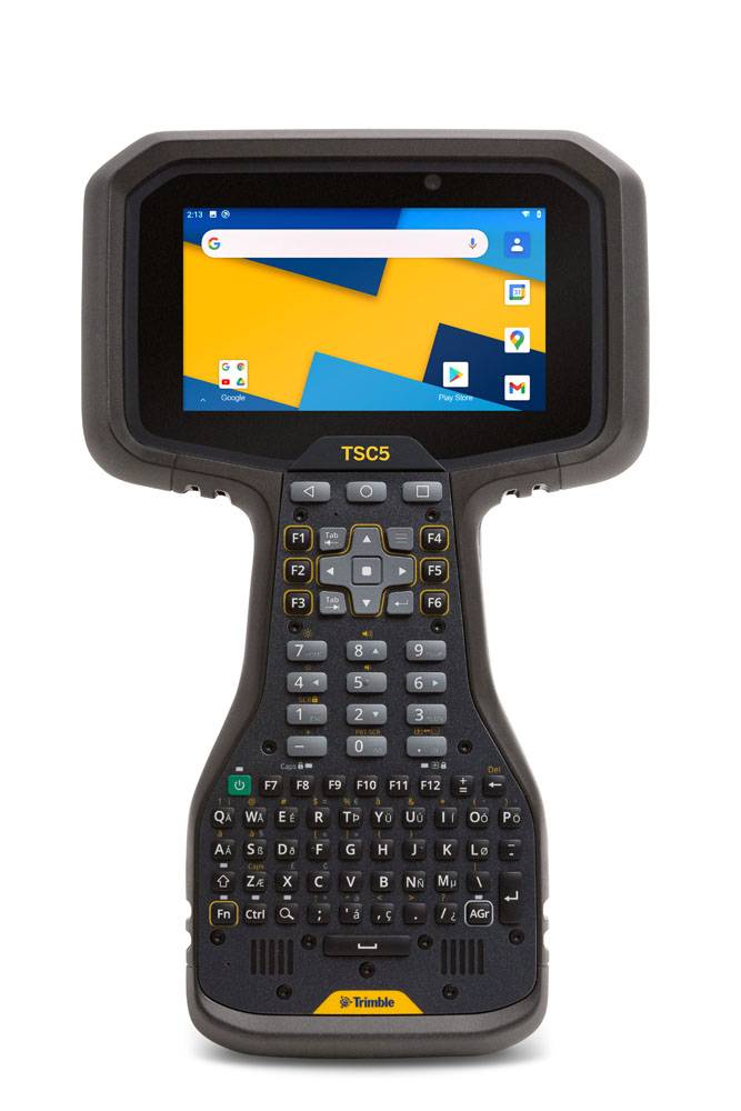
Rugged, yet lightweight, with all-day battery power.
Trimble
Rugged, yet lightweight, with all-day battery power.
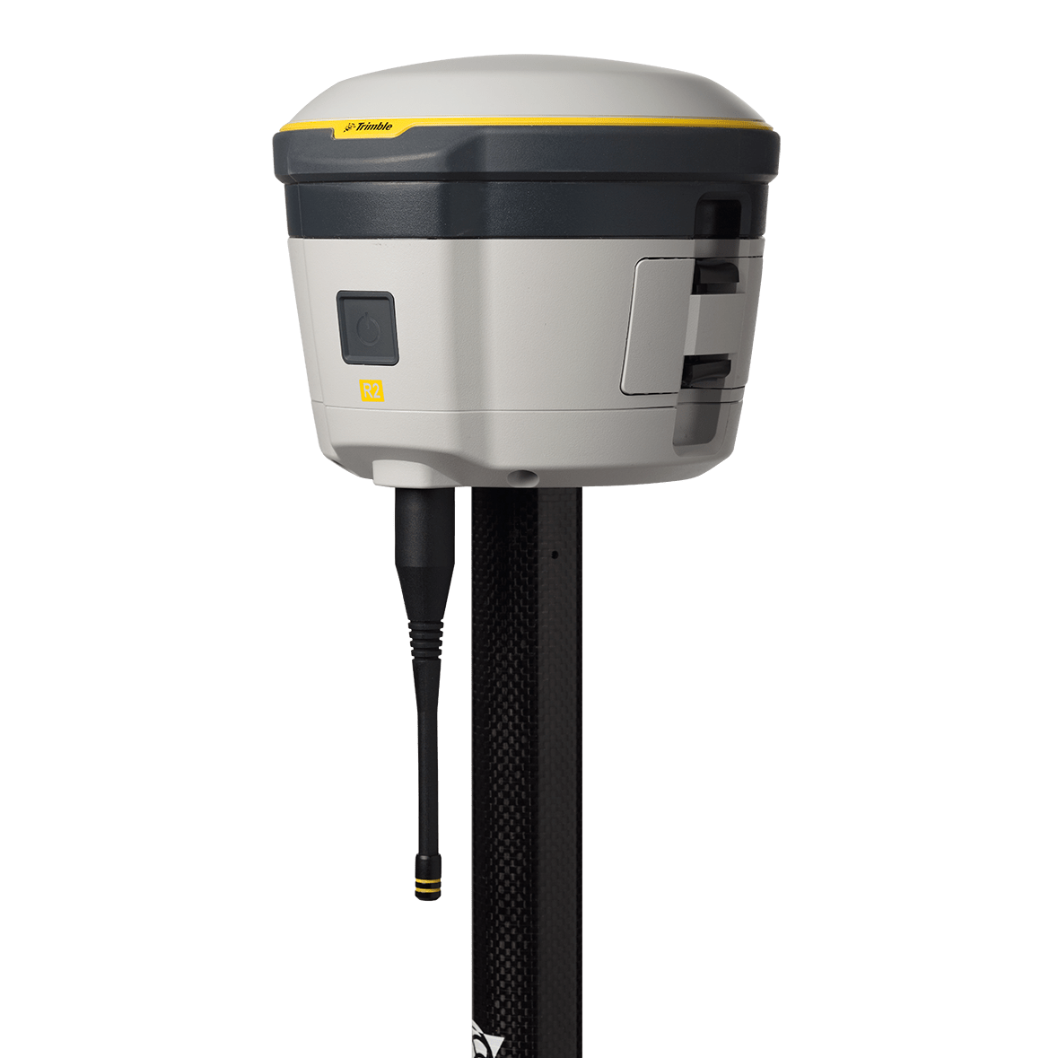


Rugged, compact, and highly accurate, the Trimble R2 GNSS Receiver delivers professional-grade positioning for GIS and surveying applications. Ideal for field data collection with wireless connectivity and flexible mounting options. Request a quote to configure for your workflow.
Trimble
Rugged, yet lightweight, with all-day battery power.
Trimble
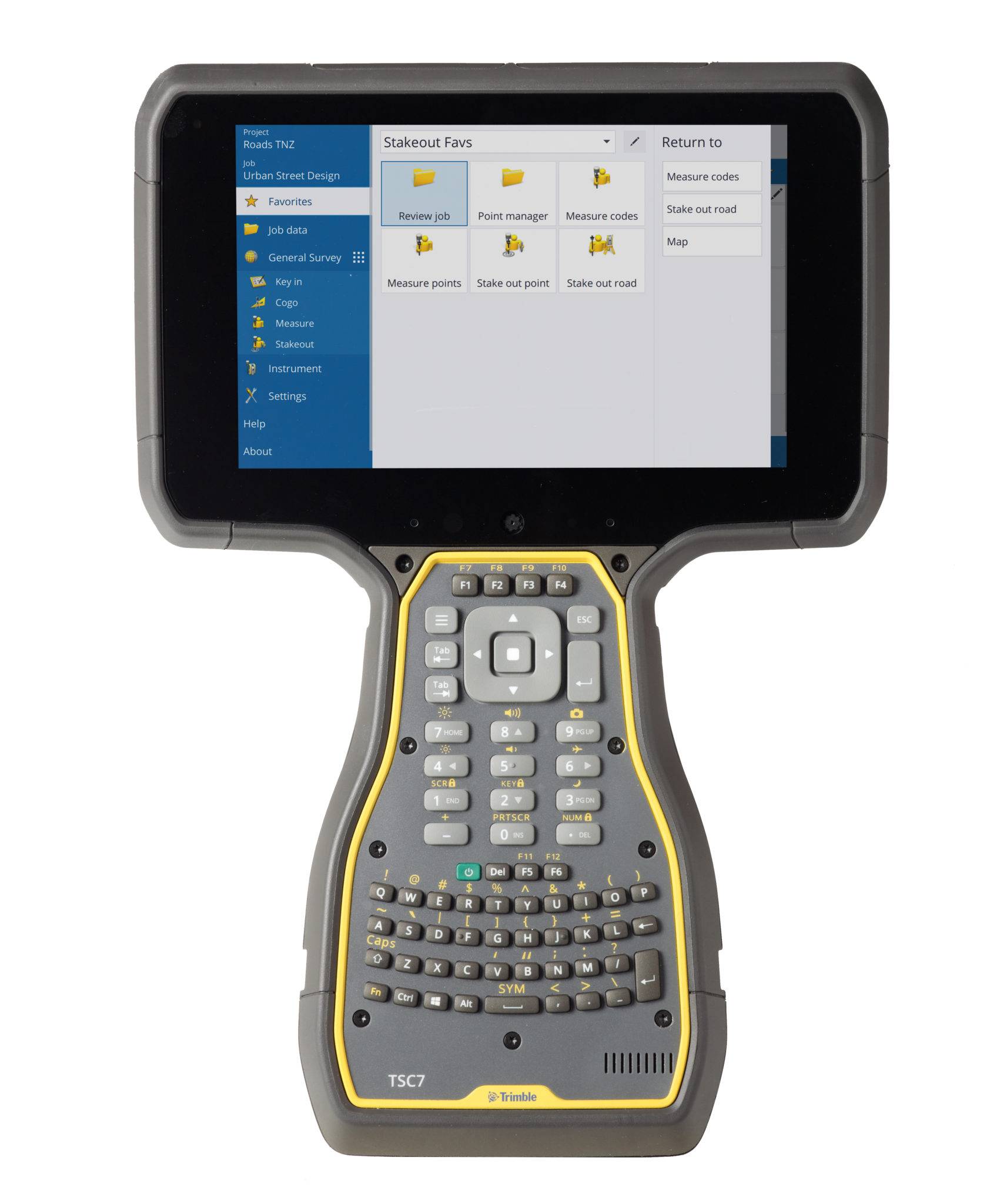
The world leading field software for professional surveyors.
Trimble
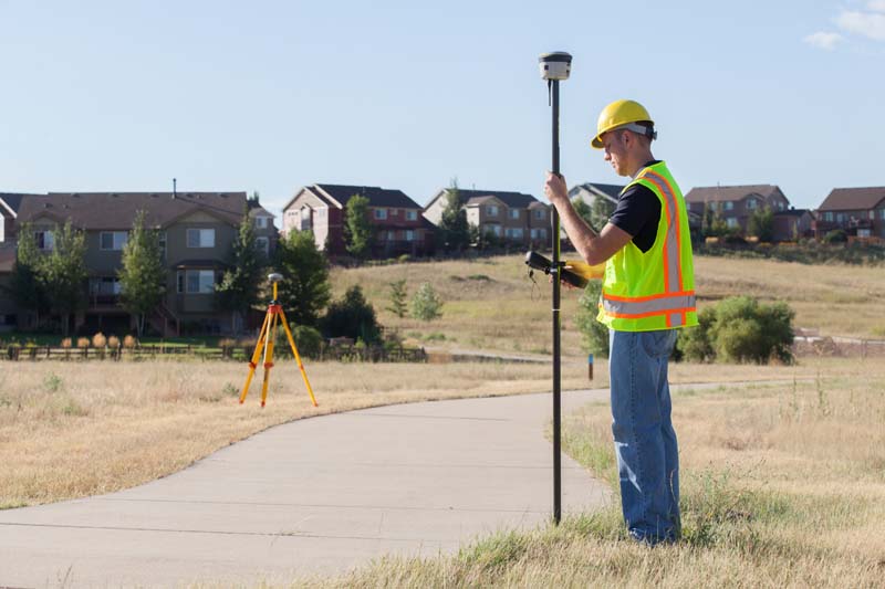
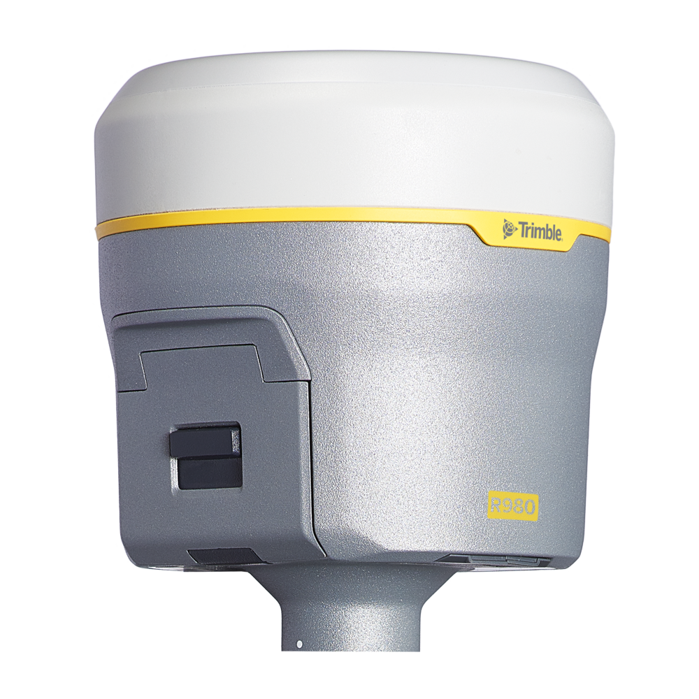
Unmatched GNSS Performance With Connected Workflows to Elevate Survey Productivity.