
The Trimble® MX90 is a state-of-the-art mobile mapping solution designed for high-precision, large-scale ...
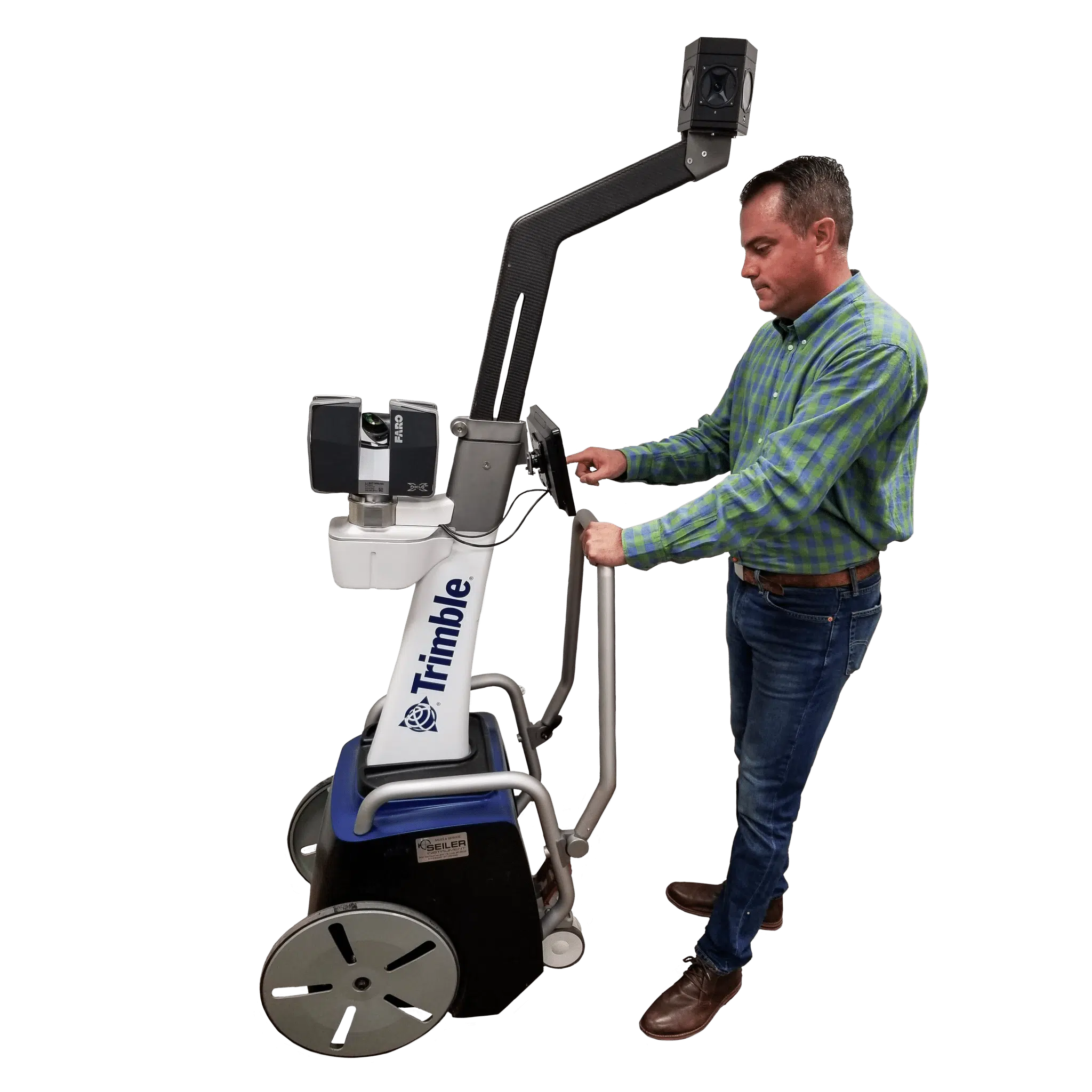
Trimble
Large-scale geospatial data collection.
At Seiler Geospatial, we offer a comprehensive selection of mobile mapping solutions designed to meet the diverse needs of professionals in asset management, mapping, and road maintenance. Our inventory includes advanced systems such as the Trimble MX90 and MX50. By integrating these cutting-edge mobile mapping systems into your operations, you can achieve superior accuracy and efficiency in your fieldwork.
Select the terms
Sort By
Trimble
Large-scale geospatial data collection.

Trimble
Precise LiDAR and 360° imagery for fast, accurate mobile mapping
Trimble
Capturing spatial data of indoor and other GNSS denied areas.
Experience the future of surveying with our state-of-the-art products designed to boost accuracy and efficiency on every project. From advanced GNSS systems and robotic total stations to powerful software solutions like Trimble Access and Trimble Business Center, we offer the tools you need to excel. Don’t just take our word for it—see the difference for yourself. Request a demo today and discover how our innovative technologies can transform your surveying capabilities.
"*" indicates required fields