Software

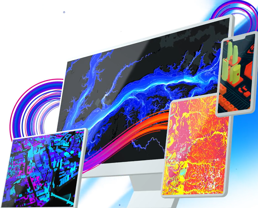
​At Seiler Geospatial, we offer a comprehensive suite of software solutions tailored to meet the diverse needs of professionals in surveying, mapping, and GIS applications. Our offerings include powerful Trimble software for both field and office environments, enabling users to accurately process, model, and analyze captured data. Additionally, we provide Autodesk solutions through our Design Solutions division, offering specialized BIM and CAD tools powered by personalized customer service. By integrating these advanced software solutions into your workflows, you can enhance efficiency, accuracy, and productivity in your geospatial projects.

Sort By

  • Name (A to Z)
  • Name (Z to A)
  • Price (Lowest)
  • Price (Highest)
TerraFlex

TerraFlex

Trimble TerraFlex® is a powerful and user-friendly field software solution that enables accurate, real-time data ...

Trimble

Data collection software for capturing and managing geospatial information in the field.

Forensics Reveal

Forensics Reveal

Trimble® Forensics Reveal is purpose-built CAD software designed specifically for public safety professionals and ...

Trimble

Trimble® Forensics Reveal is powerful CAD software built for investigators, enabling precise scene reconstruction, analysis, and courtroom-ready visuals. Ideal for crash and crime scenes, it simplifies complex data into clear, professional results.

T4D Control

T4D Control

Your Central Hub for Geospatial Monitoring and Analysis Unlock the full potential of your geospatial monitoring ...

Trimble

Unlock the full potential of your geospatial monitoring data.

SiteVision

SiteVision

Trimble SiteVision is an outdoor augmented reality (AR) system designed to bring spatial data to life by ...

Trimble

ArcGIS Experience Builder

ArcGIS Experience Builder

ArcGIS Experience Builder is Esri’s flexible, no-code/low-code platform for creating interactive web applications. ...

Esri

Web mapping application to view, edit, visualize data collected in the field or office

ArcGIS Indoors

ArcGIS Indoors

ArcGIS Indoors is Esri’s indoor GIS solution that brings interactive 2D and 3D mapping, wayfinding, and space ...

Esri

Interior 3D building plans for emergency management, office spaces, hotels & more.

Site Scan for ArcGIS

Site Scan for ArcGIS

Site Scan for ArcGIS is Esri’s all-in-one, cloud-based solution for drone flight planning, data capture, ...

Esri

Drone planning, processing data, reality capture, etc

ArcGIS GeoBIM

ArcGIS GeoBIM

ArcGIS GeoBIM connects Esri’s GIS technology with Autodesk’s BIM tools, enabling AEC professionals to visualize ...

Esri

Autodesk integration for 3D visualization, Digital Twin apps and more.

ArcGIS Survey123

ArcGIS Survey123

ArcGIS Survey123 is Esri’s intuitive solution for creating, sharing, and analyzing surveys through smart, ...

Esri

Survey form factor for collecting tabular data used when crowd sourcing & public outreach. Integrated with Trimble Hardware.

ArcGIS Dashboards

ArcGIS Dashboards

ArcGIS Dashboards is a configurable web app that enables users to present location-based analytics through ...

Esri

Map with dashboard capabilities for viewing data analytics. Created for users that need administrative views of data, project status, etc.

ArcGIS Field Maps

ArcGIS Field Maps

ArcGIS Field Maps is Esri’s all-in-one mobile solution designed to streamline field operations by integrating map ...

Esri

Mobile data collection app that is integrated with Trimble hardware solutions

ArcGIS Pro

ArcGIS Pro

ArcGIS Pro is Esri’s premier desktop GIS application, offering a powerful, modern, and integrated environment for ...

Esri

Desktop software for GIS Analysts, developers, and everyday users.
No results found.

Request a Demo

Experience the future of surveying with our state-of-the-art products designed to boost accuracy and efficiency on every project. From advanced GNSS systems and robotic total stations to powerful software solutions like Trimble Access and Trimble Business Center, we offer the tools you need to excel. Don’t just take our word for it—see the difference for yourself. Request a demo today and discover how our innovative technologies can transform your surveying capabilities.

"*" indicates required fields

This field is for validation purposes and should be left unchanged.