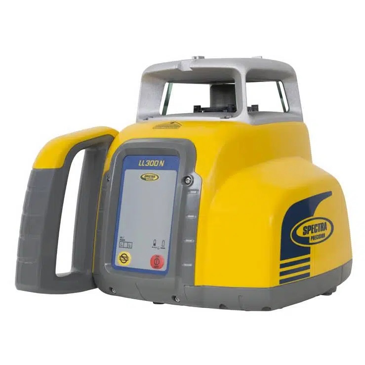
The automatic, self-leveling Spectra Precision® LL300N Laser Level is the most rugged laser level available, tough ...
$1,185.00
Spectra Precision
The most rugged, automatic, self-leveling laser level available.
Seiler Geospatial offers a comprehensive range of high-quality hardware solutions tailored for professionals in surveying, engineering, construction, mapping, and GIS industries. Their product lineup includes advanced GNSS/GPS survey equipment, robotic and mechanical total stations, data collectors and controllers, 3D scanning equipment, hydrographic surveying tools, and ground-penetrating radar systems. They also provide laser technology products, mapping drones (UAVs), and mobile mapping systems, ensuring precise data collection and efficient workflows for field operations. As an authorized dealer for leading brands like Trimble, Laser Technology, GeoSLAM, and Esri, Seiler Geospatial ensures that professionals have access to the latest and most reliable tools for their projects.
Select the terms
Sort By
$1,185.00
Spectra Precision
The most rugged, automatic, self-leveling laser level available.

$1,890.00
Spectra Precision
Designed for longer range measurements across your entire site.

$1,200.00
Spectra Precision
Automatic self-leveling laser level including grade buttons.
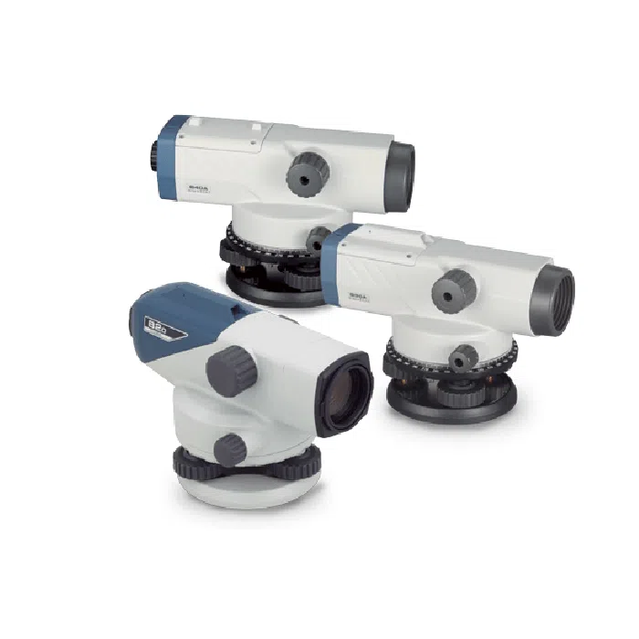
$372.75
Sokkia
Durable, dependable, high value auto levels.

$1,895.85
Spectra Precision
Rugged, cost-effective, accurate angle measurements for general construction.
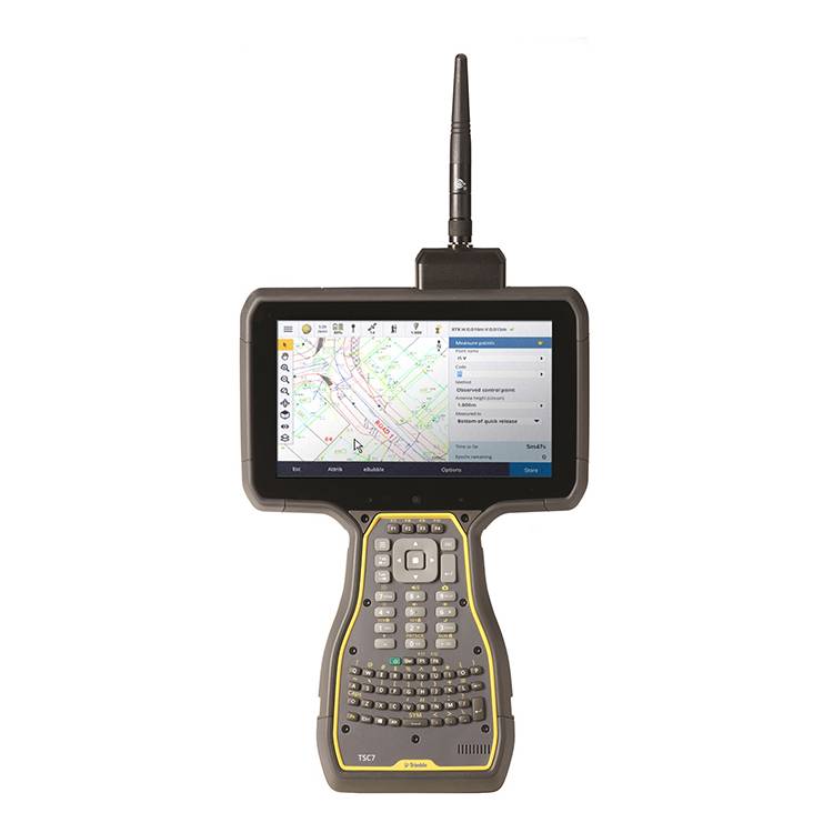
Trimble
Combines the power of a tablet, laptop and rugged field controller.

Trimble
A simple, integrated rail scan system to measure for precise adjustments, inspections and quality checks.

Trimble
Tackle large datasets and process-intensive projects with confidence.

Trimble
All-in-one rugged smartphone with a built-in professional GNSS receiver.

Trimble
Built for specialized applications that require speed, accuracy and reliability.

Trimble
Efficient surveying with Trimble SurePoint™, MagDrive™, and DR Plus EDM for high accuracy.

Trimble
As a feature-rich robotic total station with an included radio.
Experience the future of surveying with our state-of-the-art products designed to boost accuracy and efficiency on every project. From advanced GNSS systems and robotic total stations to powerful software solutions like Trimble Access and Trimble Business Center, we offer the tools you need to excel. Don’t just take our word for it—see the difference for yourself. Request a demo today and discover how our innovative technologies can transform your surveying capabilities.
"*" indicates required fields